Construction sites in real time: Montreal launches new interactive map

Posted January 29, 2024 10:30 am.
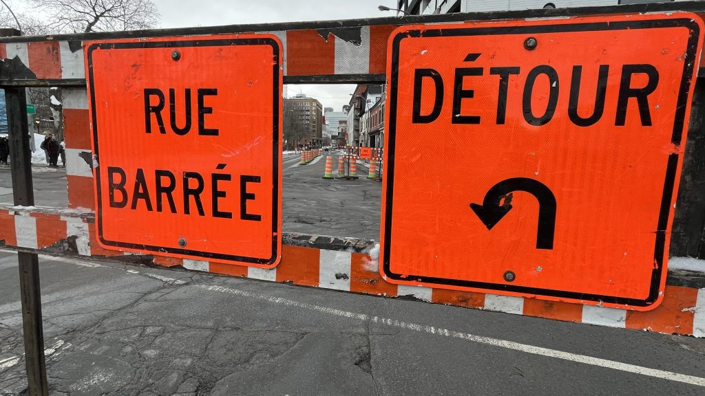
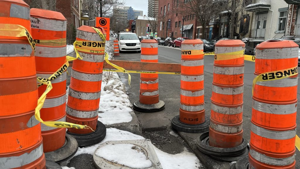
From construction sites to street closures — Montrealers can now locate these online, in real time, through a new interactive map.
The City of Montreal launched the tool with the goal to “help the population facilitate their daily travels,” and increase the accountability of project owners on the City’s territory.
“Our administration is providing the City of Montreal with additional and effective tools to better coordinate construction sites,” said Émilie Thuillier, the executive committee member responsible for infrastructures, buildings and asset maintenance. “And communicate them clearly to the population.”
“With a majority of construction sites not managed by the City of Montreal,” she added. “We wanted to ensure that we automatically centralized all permits granted by the boroughs.”
The information on the map is automatically generated from the temporary public property occupancy permits issued by the city’s boroughs.
Through the map, citizens will also be able to know:
– Who is responsible for the work
– The company carrying out it
– Nature of the work
– Expected duration
– Area occupied
– The impacts, including the number parking areas affected.
“This is a major step that will help optimize the work of teams on the ground,” said Thuillier. “While allowing the population to geolocate obstacles and avoid unpleasant surprises.”
City officials say the Info Entraves et Travaux map is the latest of a series of measures to limit the impacts linked to work taking place on the territory.
Other measures include: dismantling redundant signage and “phantom” worksites.
Montreal’s boroughs issue approximately 55,000 temporary public property occupancy permits each year.