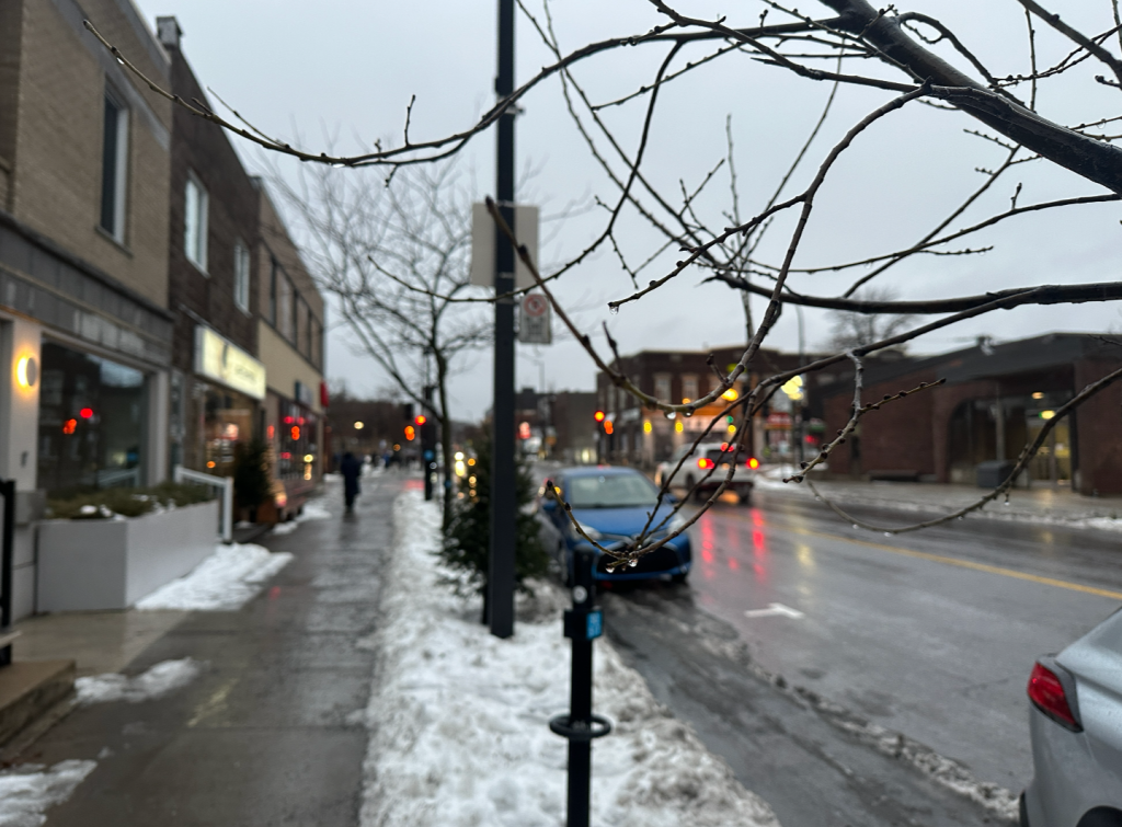
Canada’s warmest winter is coming to an end

Posted March 19, 2024 10:30 am.
Canada’s warmest winter on record will officially end on Tuesday night with the arrival of spring.
According to climate scientists, when winters are this mild, they can affect everything from forest fires to shoreline erosion. It can also offer a glimpse of what the winter seasons may look like in the future if greenhouse gas emissions aren’t reduced.
Environment Canada’s senior climatologist David Phillips described this winter season as a loss.
“Canada easily broke records for high temperatures this winter,” said Phillips, referring to data from 1948.
From December to February, Canada was 5.2 degrees warmer than average and 1.1 degrees warmer than the previous record set in 2009-2010.
“There have been episodes of extreme winter weather across Canada, from a deep freeze in January on the Prairies to massive snowfalls in the Maritimes in February, but the unusual warmer-than-normal weather was widely felt across Canada,” said Phillips.
Although some people may have liked the low heating bills or the mild days, Phillips said that the record-breaking temperatures have turned Canada’s winter lifestyle on its head.
“Winter festivals were cancelled, ski resorts closed, and flora and fauna emerged prematurely. Remote First Nations in Ontario and Manitoba who rely on ice roads declared a state of emergency due to the poor conditions.”
Outdoor skating is often considered a staple for Canadian winter life, but it has suffered.
Ottawa’s iconic Rideau Canal was open for a few days this winter, after an unprecedented season-long closure last year.
Experts say that the factors responsible for this winter’s record warm temperatures are due to the El Niño weather phenomenon and human-induced climate change. Other related factors include record high global ocean temperatures and residual heat from early 2023.
El Niño is a natural phenomenon that occurs every two to seven years.
It was strong this year, but the United Nations World Meteorological Organization (WMO) said its peak was lower than previous El Niño winters such as in 1997 and 2015.
“El Niño has contributed to these record temperatures, but heat-trapping greenhouse gases are unequivocally the main culprit,” said WMO Secretary-General Celeste Saulo in an update published earlier in March, referring to a series of consecutive monthly records for global temperatures.
According to Phillips, climate change is expected to increase winter temperatures more than any other season in Canada.
In his opinion, if the world continues to emit greenhouse gases on a normal scale until 2050, his own community of Barrie, Ontario, could regularly experience winters as warm as this one around 2065.
“On the other hand, less snow on the ground during the spring melt means less water available to irrigate farmland and replenish reservoirs. Melting snow also helps reduce the risk of forest fires.”
Almost all western Canada, northern Ontario and parts of northern Quebec were in a drought by the end of February, according to a recent update from Environment Canada.
Parts of southern Alberta and northern British Columbia reported conditions usually observed once every 50 years.
“Drought season, forest fire season – all that is to come, but sometimes the seeds are sown in winter,” explained Phillips.
The Great Lakes ice cover, which helps protect the coastline from erosion during winter storms, also reached an all-time low in February.
Erosion concerns extended to coastal areas around the Gulf of St. Lawrence, including Prince Edward Island.
Concordia University climatologist Damon Matthews points out that in Canada “we need to get our act together and stop arguing, as a country, about whether this is a problem or a priority.”
According to Matthews, Canada is “not stepping up its efforts as it should.”
He points out that the decline in outdoor skating is a consequence, but that worse things will happen if the fight against climate change does not move forward.
Weather in Montreal
On Tuesday, the skies will be mainly cloudy in Montreal with a 40 per cent chance of flurries.
The wind gusts will be 20 km/h with a high plus 1 and the wind chill feeling like minus 6 this evening.
According to Environment Canada, on Wednesday, there will be periods of light snow changing into rain near noon.
The high will be plus 6 with a low of minus 7.
By Thursday, Montreal will see a 60 per cent chance of flurries with a high of minus 5 and a low of minus 13.
The sun will come out on Friday with a high of minus 1 and a low of minus 7.
-This report by La Presse Canadienne was translated by CityNews.

