Winter weather makes a comeback as Montreal rolls into spring
Posted March 20, 2024 11:19 am.
Last Updated March 20, 2024 12:49 pm.
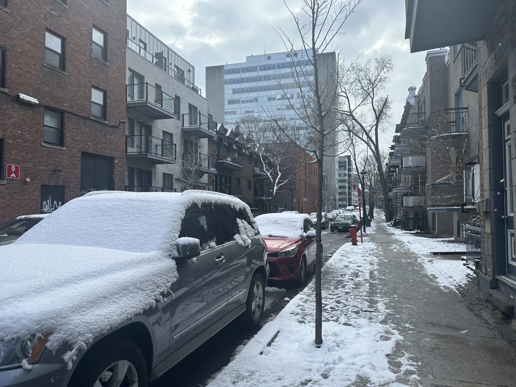
Spring may officially be here, but winter appears to have returned – at least for a little while longer.
Montrealers woke up to intermittent light snow Wednesday, which stopped mid-morning and is expected to turn to rain showers by this afternoon.
Flurries are expected to end this evening, as the temperature drastically drops overnight to -16°C with the wind chill.
The mercury is expected to remain low in Montreal for the next few days.
For Thursday, a mix of sun and cloud, -18°C in the morning with the wind chill. The high will be -2°C and the low -13°C.
Temperatures are expected to climb back up to near zero on Friday. Sunny and -1°C for the high and a low of -7°C.
More snow on the way into Saturday with a high of zero. Positive temperatures back on Sunday with a high of +5°C.
Certain sectors of eastern Quebec are under a special weather alert and snow warnings issued by Environment Canada, anticipating 15 to 20 centimeters of snow in places by Thursday.
In western Quebec, accumulations of two to five centimeters of snow are expected in Abitibi-Témiscamingue, while temperatures will drop to minus 8 degrees under strong winds.
The intermittent light snow will change to showers or snow with some accumulations in central Quebec particularly in Quebec City and the Eastern Townships where the wind effect will be prevalent.