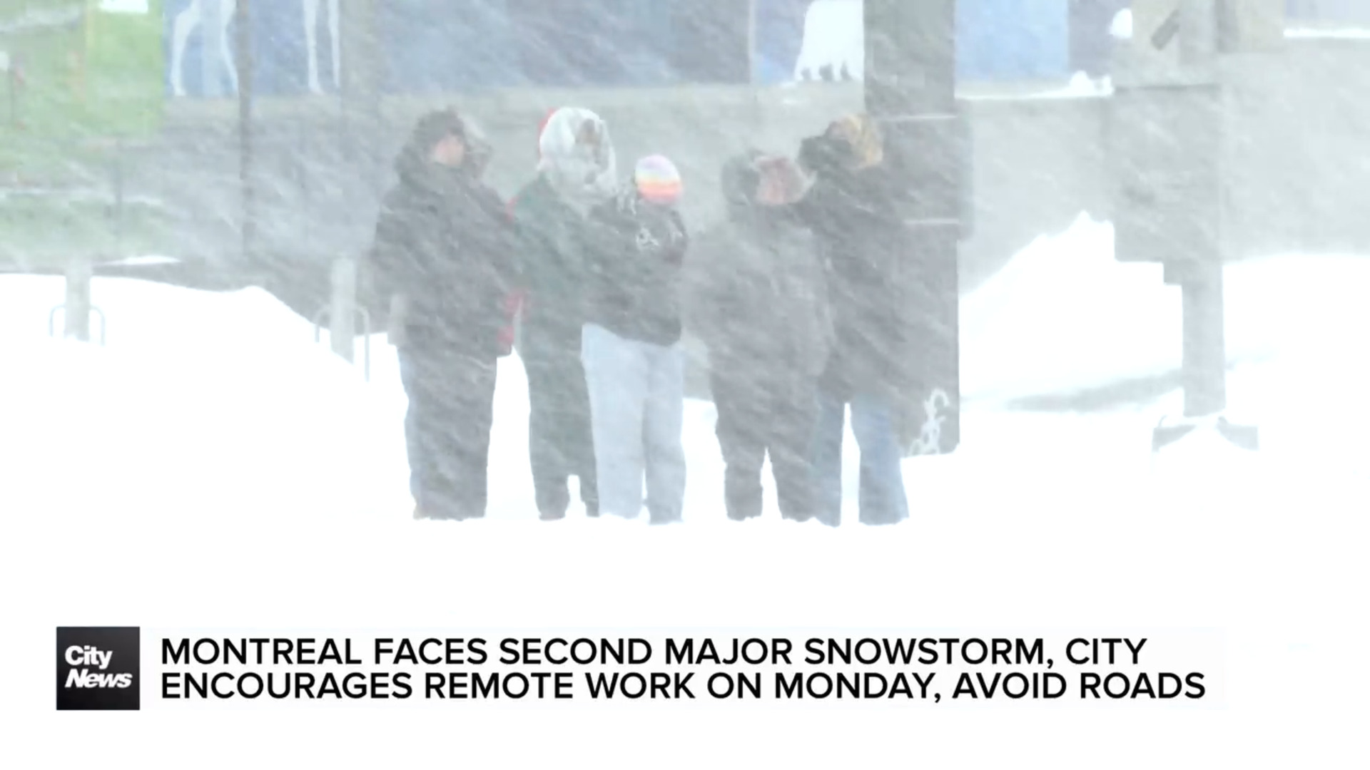
Second winter storm hits Montreal in four days, with blizzard warning issued
Posted February 15, 2025 11:44 am.
Last Updated February 16, 2025 9:09 pm.
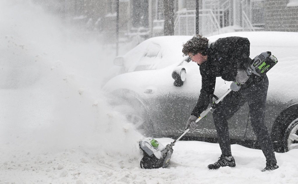
Quebec is being hit by a second snowstorm in the space of a few days on Sunday, which will be stronger than the one that hit the province on Thursday. Depending on the area, the effects of this storm could be felt until Tuesday morning. Some schools already announced they would be closed on Monday.
A blizzard warning was issued for Montreal by Sunday afternoon and by 4 p.m. the city had already received nearly 30 cm of snow – according to Environment and Climate Change Canada (ECCC).
The first accumulations of snow were recorded overnight and on Sunday morning in southern Quebec and the Outaouais region. These areas had received five centimetres of snow, but this was an initial pulse of snow, not the start of the storm, said Jean-Phillipe Bégin, ECCC meteorologist.
“It’s a storm that’s moving up the American east coast, so the closer we get to the American east coast, the more snow we’re going to get,” said Bégin in an interview on Sunday morning.
ECCC is forecasting 30 to 50 centimetres of snow in the Estrie, Beauce, Bas-Saint-Laurent and Gaspésie regions. Between 25 and 40 centimetres of snow are expected in the Quebec City area.
Due to the blizzard warning, drivers are being asked to stay home as visibility is rapidly deteriorating.
Around 4 p.m., visibility in some areas was down to around 400 meters or less.
Blizzard warnings are issued “when winds are expected to produce blowing snow reducing visibility to 400 metres or less on a widespread basis for at least four hours”.
Bégin specified that this would be a ‘very long-lasting’ event for eastern Quebec. Precipitation was expected to begin in mid to late afternoon on Sunday in these regions, and could continue until Wednesday morning. Most of the accumulations, however, will last until midday on Tuesday.
Environment Canada expects the snow to continue until Tuesday morning in the Saguenay-Lac-Saint-Jean and Côte-Nord regions.

Schools closed Monday
Peter Hall School sent out a notice late in the day Sunday that both its campuses, Ouimet and Côte-Vertu, would be closed Monday for employees and students.
All schools, daycares, adult and vocational centres, Quebec Virtual Academy and the head office of the English Montreal School Board will be closed.
Centre de services scolaire de la Pointe-de-l’Île announced it will also be fully closed on Monday.
Pensionnat Notre-Dame-des-Anges, Collège Ste-Marcelline and École Lucien-Guilbault – all in Montreal – will also be closed on Monday.
In the south of the province, the precipitation is expected to continue until Monday morning. In the Quebec City region, snow is expected to fall until midday on Monday, and snow is likely to affect the Eastern Townships throughout the day.
A number of regions should expect strong winds on Monday.
“It’s not because we’re not really accumulating any more, in the Montreal region, for example, tomorrow that we’re necessarily out of the woods,” explained the meteorologist. Gusts of between 50 and 70 kilometres per hour could occur on Monday.
Difficult travel
Bégin pointed out that ‘this storm is stronger overall’ than the one the province experienced earlier this week. There will be more wind, and the temperatures will be colder.
“With colder temperatures, the snow is more volatile, and there’s more wind, so that means more blowing snow,” he said. Drivers will therefore experience reduced to zero visibility across the board.
“Once the snowstorm will pass away, then we will need an extra eight hours to complete the tour around the network. So stay home would be my best advice for tomorrow or commute with public transit,” said Philippe Sabourin, a spokesperson for the City of Montreal.
At around midday on Sunday, Martin Girard, spokesman for the Ministère des Transports (MTQ), said that the ministry’s teams were active on the roads in areas where the storm had already started, and that they were ready to intervene in regions not yet affected.
“For the whole region, the Outaouais, southern Quebec, Montérégie and the Eastern Townships, we are really talking about partially snow-covered to snow-covered roads, with visibility generally reduced”, if not zero, said Girard.
The City says they will begin the loading operations on Monday and estimate it might take weeks to complete. As for the waste pickup, they also remind Montrealers not to place garbage on snow piles to avoid blocking the blowers.
“Regarding the pickup, garbage, recycled bins, brown bin, we will maintain those pickup tomorrow. But we’re asking you, when it’s possible, postpone your pickup, wait until next week,” said Sabourin.

A precautionary closure was in force on Autoroute 15 southbound at La Prairie, in the Montérégie region, due to the presence of blowing snow.
At around 3 p.m., Autoroute 20 west at Saint-Cyrille-de-Wendover in Centre-du-Québec was completely closed at Route 255 due to multiple collisions.
URGENCES-SANTÉ received 425 calls, compared to 600 for Montreal and Laval, as many stayed home. Authorities continue to urge the public to keep driveways and sidewalks clear to help paramedics work more efficiently.
“So it’s possible that it may take more time for our ambulances and our paramedics to get to you. So in that case, if it’s a non-emergent call, please call 811. Get some medical advice from a nurse online. If it’s non-emergency, obviously if it’s an emergency call, 911 is the number to call,” said Jean-Mari Dufresne, URGENCES-SANTÉ.
Girard reminds motorists that the MTQ is advising them to avoid travelling, but that if they have no choice but to travel, they should exercise patience and caution. He suggests that drivers leave earlier, and increase their distance from other vehicles and snow-clearing trucks, which have large blind spots.
At Montreal-Trudeau International Airport, 148 flights were cancelled and 119 delayed at 3:30 p.m., according to the flight-tracking website FlightAware.
There were also cancellations for arrivals at Quebec City’s Jean Lesage International Airport.
–This report by La Presse Canadienne was translated by CityNews