Quebec delays publication of new flood risk zone maps
Posted July 30, 2026 2:22 pm.
Last Updated July 31, 2026 1:43 pm.
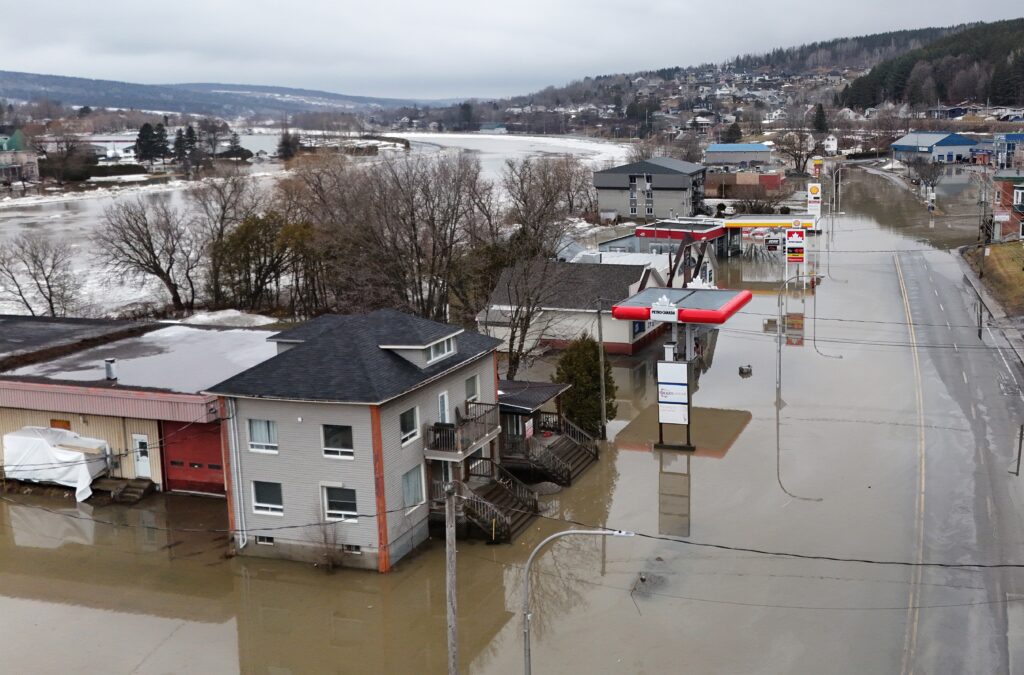
The Montreal Metropolitan Community (CMM) is criticizing the Ministry of the Environment for not allowing the publication of new flood zone maps on August 1st, as planned.
For several years, the CMM has been working to modernize flood zone maps in its territory, according to the new regulatory framework established by Quebec.
The first set of maps covering the areas around the Rivière des Mille Îles, Rivière des Prairies, Lac des Deux Montagnes, Lac Saint-Louis, the St. Lawrence River, the St. Regis River and the St. Pierre River was to be published on August 1, but the Ministry of the Environment delayed this publication.
“We are disappointed, we have been working on this since 2019 and it is a file that does not end,” complained Denis Martin, mayor of the City of Deux-Montagnes and member of the executive committee of the CMM.
“The government gave us, at the CMM, the mandate to prepare a map, which has been ready for some time” and these “new maps had been pre-published in 2024 and we were supposed to make it official tomorrow,” added the mayor of Deux-Montagnes in an interview with The Canadian Press.
In an email exchange seen by The Canadian Press, an employee of the Assistant Deputy Minister’s Office for Water and Air Expertise and Policy at the Department of the Environment wrote to the CMM management that the publication of the maps was being postponed for reasons “outside our control.”
A new map that was planned for spring 2026
In 2024, the then Minister of the Environment, Benoit Charette, explained that a new mapping of flood zones was necessary due, in particular, to the scale of climate change.
As they were approved by the Ministry of the Environment, the maps were to be published on the government portal from March 2026.
But currently, the old, outdated maps are still on the portal.
“If you go to the Quebec government website, there are maps, but they are far from accurate,” and these maps cause “problems” for municipalities, among other things because citizens want to know what level of flood risk they are exposed to, explained the mayor of Deux-Montagnes.
A publication before the elections?
“We were hoping that this would be resolved before the elections so that this government would continue the matter, because if there is a new government, it will have to take time to learn about the matter and there is a risk that there will be even more delays,” worried Denis Martin.
Traditionally, flood zone mapping presents recurrence ratings of “0-20 years” and “20-100 years”, whereas the new generation of maps must offer a classification with five risk categories: low, moderate, high, very high and protected with residual risk.
Each risk is associated with a colour.
The “protected zone with residual risk” refers to areas located behind protective structures.
–This report by La Presse Canadienne was translated by CityNews