Snow tapers off as cloudy stretch begins in Montreal this week
Posted November 17, 2025 8:10 am.
Last Updated November 17, 2025 11:57 am.
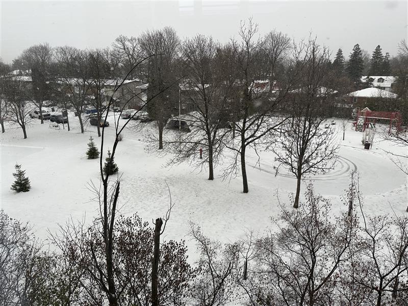
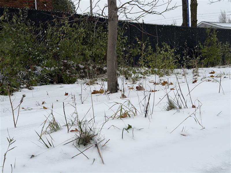
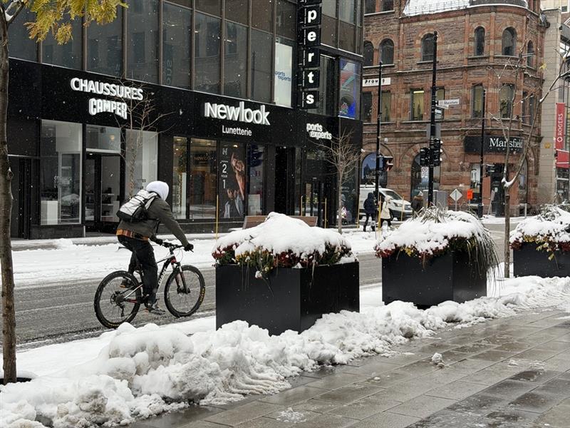
There was snow to clear off cars Monday morning, indicating overnight accumulation that left roads slippery during the rush hour and made for difficult commute.
Montreal received about 3 cm of wet snow last night.
A brief morning snowfall will give way to mostly cloudy skies as the day settles in. Snow will end this morning before skies turn mainly cloudy, with 1 to 2 cm on the ground. Today’s high will reach 1°C.
Tonight will be mainly cloudy with a low of −1°C and a wind chill near −7.
A mix of sun and cloud is expected Tuesday with a high of 1°C. The morning wind chill will make it feel like −7. Clear skies return Tuesday night as temperatures fall to −4°C.
Wednesday will be sunny and slightly warmer with a high of 2°C, followed by a clear night and a low of −2°C.
Clouds move in Thursday, bringing a high of 2°C. Snow or rain is expected Thursday night as temperatures hold near 0°C. Any snow that falls on Thursday will likely be washed away by Friday.
Friday will bring periods of rain and a high of 6°C, followed by a 60 per cent chance of showers Friday night and a low of −1°C.
The weekend will feature a mix of sun and cloud both Saturday and Sunday, with highs near 2°C and overnight lows around −2°C.