Heavy snow on the way in Montreal
Posted January 14, 2026 7:00 am.
Last Updated January 14, 2026 8:55 am.
Rain tapers off early today, followed by cloudy skies and a 60 per cent chance of showers. Southwest winds gust to 40 km/h with a high of 5 Celsius and a low UV index.
Cloud cover continues tonight with rain showers this evening, turning to snow after midnight. Two to four centimetres are expected as winds shift north. The low dips to minus – 3 C, with a wind chill near minus – 9 C.
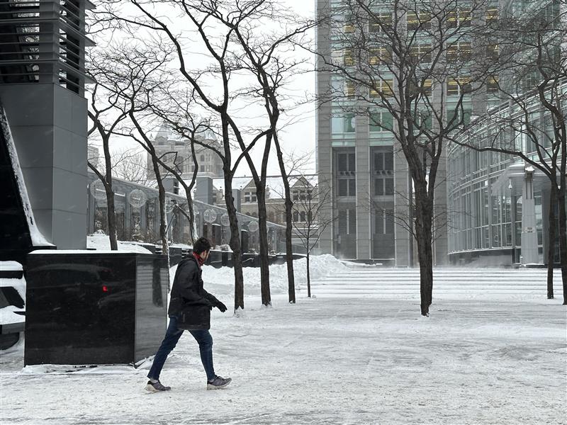
Thursday brings snow, at times heavy, with up to 10 centimetres possible. Winds ease late in the day as temperatures fall to minus – 7 C, with wind chills near minus – 12 C. Snow continues into the night, with a low of minus -12 C.
“With snowfall totals of 10 to 15 centimetres possible by noon tomorrow, this system is expected to have a significant impact on the commute,” said Eric Thomlinson, warning preparedness meteorologist at Environment And Climate Change Canada (ECCC)
“The worst conditions will be in the morning, with slippery roadways and sidewalks as temperatures drop,” Thomlinson said. “We are expecting conditions to be particularly slick early in the day.”
He urged commuters to plan ahead.“For people heading into work tomorrow, it’s important to leave a bit earlier and allow extra time,” he warned.
Thomlinson said the storm also marks a broader shift in weather patterns.
“We’ve been seeing a lot of mild air recently, which is unusual for this time of year,” he said. “This system signals a pattern change across North America, bringing colder, more seasonable air.”
“Typically, daytime highs around now are near minus – 5C degrees with overnight lows around minus – 10 C, and we’re moving back toward those norms,” he said, noting temperatures could even dip below seasonal levels.
Friday turns sunny but cold, with a high of minus – 9 C. Cloudy periods return overnight and a low of minus – 12 C.
Additional snowfall may follow later in the weekend.
“This pattern could also bring snow showers from Saturday into Sunday night,” Thomlinson said.
Cloudy skies dominate Saturday, with a high of minus – 5 C. Snow returns overnight, keeping temperatures near minus -5 C.
Sunday sees flurries and a high of minus – 2 C, followed by partly cloudy skies overnight and a low of minus -11 C.
A mix of sun and cloud is expected Monday, with a slight chance of flurries and a high of minus – 9 C. Overnight lows fall sharply to minus – 18 C.